


Dubai Metro Blue Line Map Revealed
The Roads and Transport Authority has unveiled the map for the upcoming Dubai Metro Blue Line, outlining 14 stations and confirming plans for its 2029 launch.

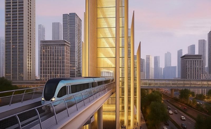
Dubai’s Roads and Transport Authority (RTA) has revealed the official route map for the Dubai Metro Blue Line, a major expansion of the city’s rail network that is scheduled to open in 2029. The Blue Line will consist of 14 stations, including a mix of five elevated stations, four underground stations, two future elevated stations and one underground interchange station. Tracks will span roughly 14.5 kilometres above ground and 15.5 kilometres below ground. Upon opening, the line is expected to handle more than 320,000 passengers per day. The line’s route will link key areas across the emirate and connect with the existing Green Line at Creek Interchange Station in Al Jaddaf as well as the Red Line at Centrepoint Station in Al Rashidiya. From these interchange points, the Blue Line will branch into two directions: one passing through Dubai Festival City, Dubai Creek Harbour, Ras Al Khor, International City 1 (with interchange), International City 2 and International City 3, Dubai Silicon Oasis and Academic City, and another extending through Mirdif and Al Warqa before joining at International City 1.
Related Articles
Trending This Week
-
 Mar 13, 2026
 -

-
 Mar 14, 2026
 -