



Master Plan Completed for Northeast Riyadh Expansion
The framework outlines the long-term development of a 456 sq km growth corridor in the Saudi capital.

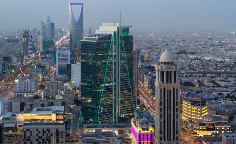
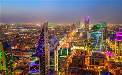
A master plan for Northeast Riyadh has been completed by the Royal Commission for Riyadh City (RCRC), outlining the long-term development of a 456 sq km area that will serve as one of the Saudi capital's primary future growth corridors.
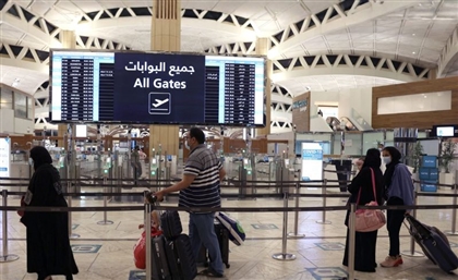
The plan covers an area connected to King Khalid International Airport, Al-Sulai Valley, Dammam Road and Al-Janadriyah Road, establishing a framework for phased urban expansion that combines housing, essential services, economic activity, recreational spaces and natural areas.
According to the commission, the master plan prioritises integrated communities, expanded green spaces and the preservation of natural valleys within an interconnected urban structure. It is also intended to guide long-term development while supporting Riyadh's continued population and economic growth.
Ibrahim Al-Sultan, CEO of the Royal Commission for Riyadh City, described the completion of the master plan as an important planning milestone for the capital's future development. The commission noted that the framework represents an initial planning phase rather than the start of construction.
Detailed regional plans and subsequent implementation phases will be developed in coordination with relevant authorities, with future updates to be announced through the Royal Commission for Riyadh City and other official channels.